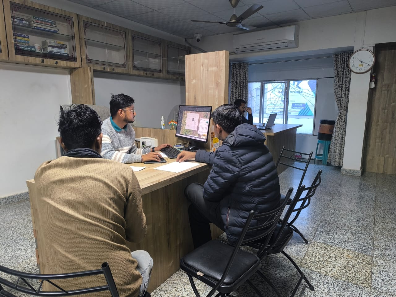
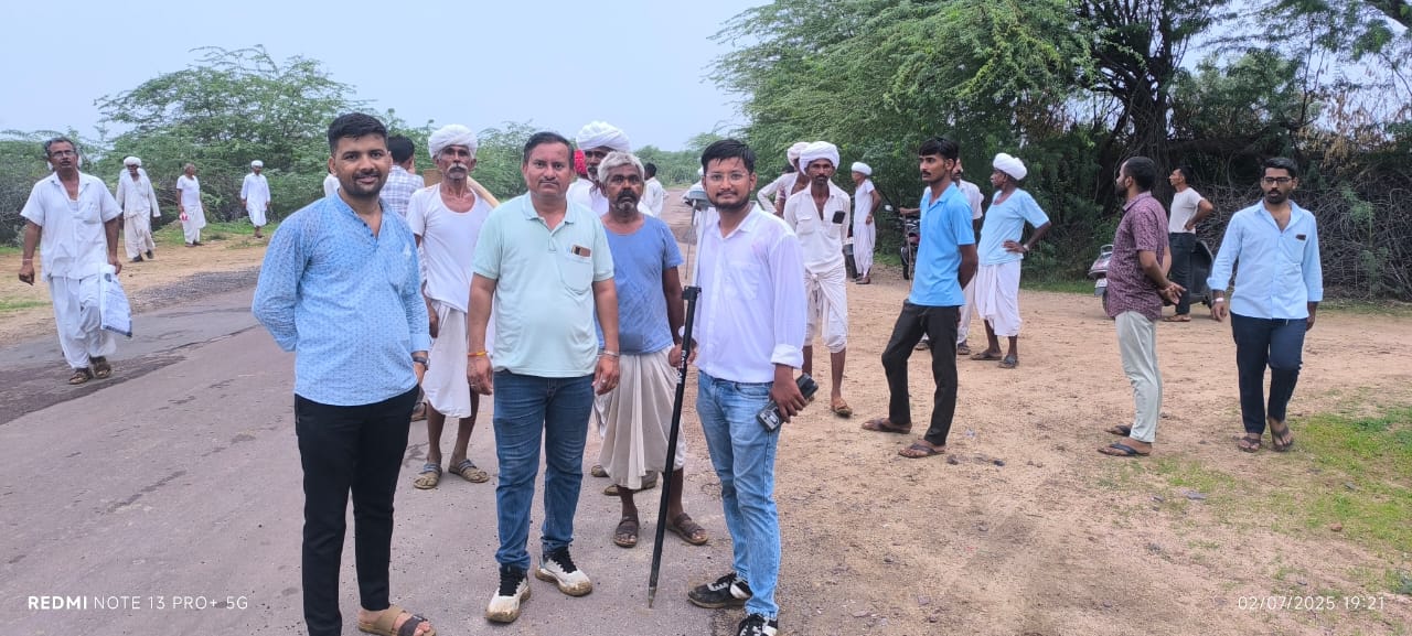
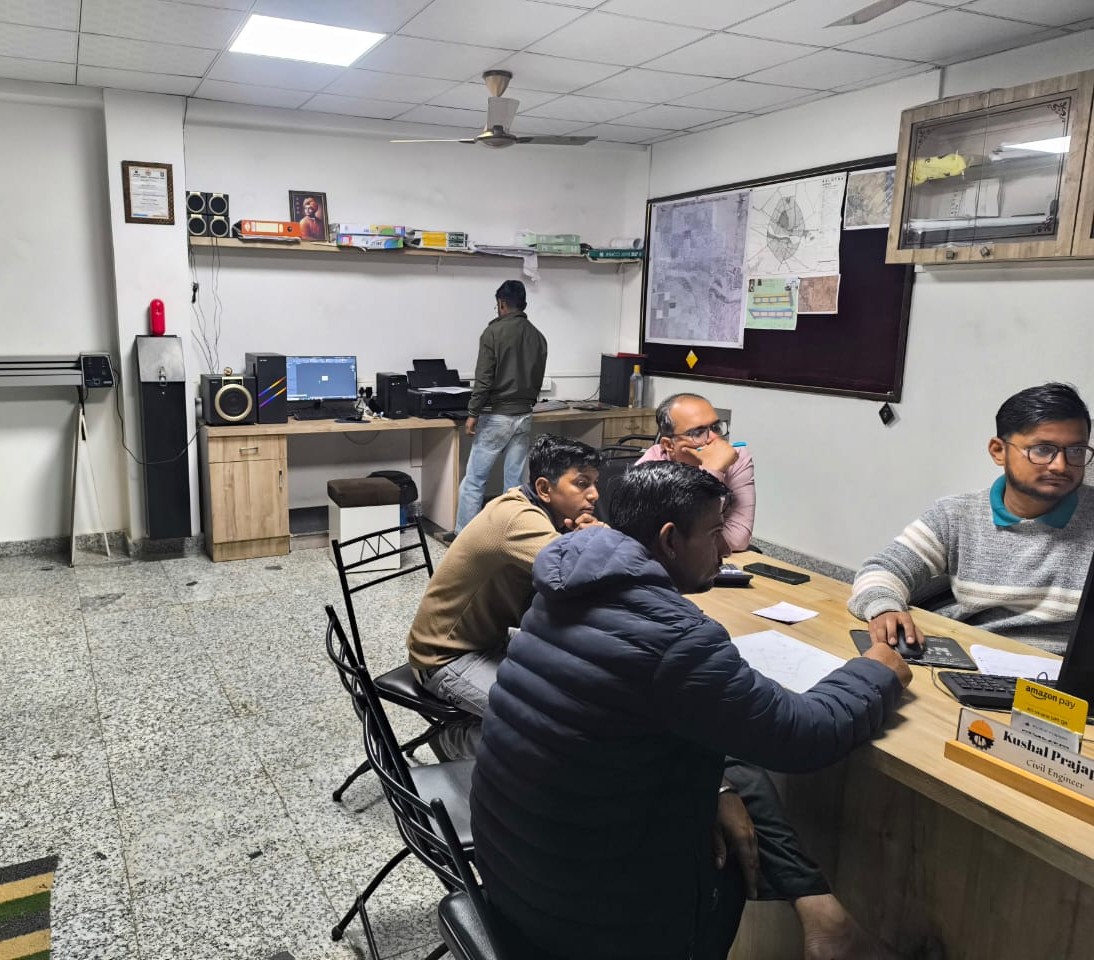
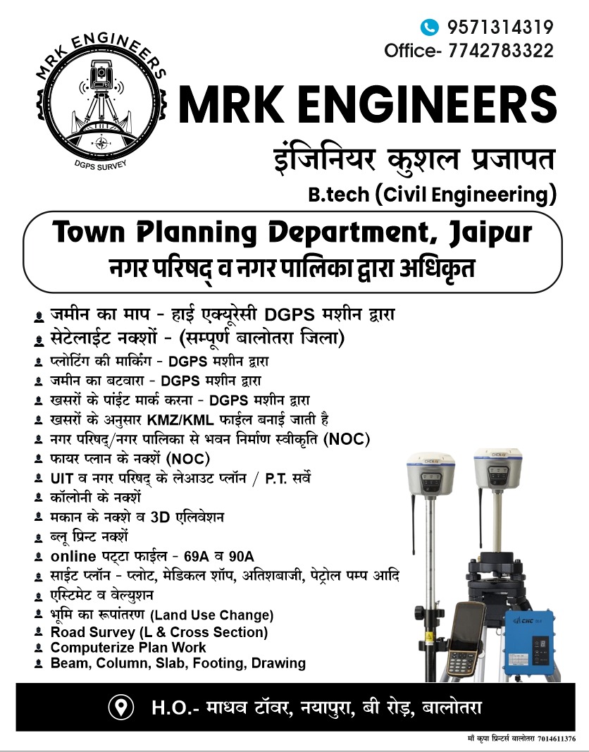
Royal Light Edition
Specialized in DGPS Surveying, GIS Mapping, and architectural consultation. We transform complex data into the foundation of your legacy.
Comprehensive civil engineering solutions tailored for landowners, developers, and government bodies.
High-precision Differential GPS surveys for accurate land measurement using RTK technology.
Advanced mapping systems overlaying Khasra maps on satellite imagery for precise planning.
End-to-End Execution
Bank loan reports & accurate estimates.
"Accuracy is not just a metric, it is our integrity."
Chief Civil Engineer & Surveyor
With over two decades of dedicated service in the infrastructure sector of Balotra and Rajasthan, Er. Mahendra stands at the intersection of traditional surveying wisdom and modern satellite technology.
His philosophy is simple: measure twice, build once. Under his leadership, MRK Engineers has mapped over 10,000 acres of land and facilitated some of the region's most complex township developments.
This featured layout demonstrates our capability to transform raw land data into a cohesive, government-approved township plan. Every line represents millimeter-perfect coordination.
DGPS & Drone Mapping
Processing Coordinates
Layout Optimization
On-ground Demarcation
+91 95713 14319
MRKENGINEERS2023@gmail.com
Madhav Tower, Nayapura, B Road, Balotra - 344022